
Lurid X Projects · Client Hub
Your projects.Your deliverables.
Every Lurid X client now has a private hub: the interactive 3D site model, per-pile volumes and grade checks, orthomosaic-to-elevation maps, every flight on record and every report — verified before it's reported, ready on any phone. Sign in with your work e-mail and a six-digit code. No software, no password.
Included with every jobSample needs no sign-in


Drone Photogrammetry
& Inspection
Lurid X delivers aerial mapping, photogrammetry, inspections, and project documentation that help mining and construction clients improve visibility, reduce risk, and make faster operational decisions.
- FAA Part 107
- ·$2M Liability Insurance
- ·15 Yrs Mining Operations
- ·Safford, AZ
- ·Serving the Southwestern US
Industrial Capabilities
Stockpile Volumetrics
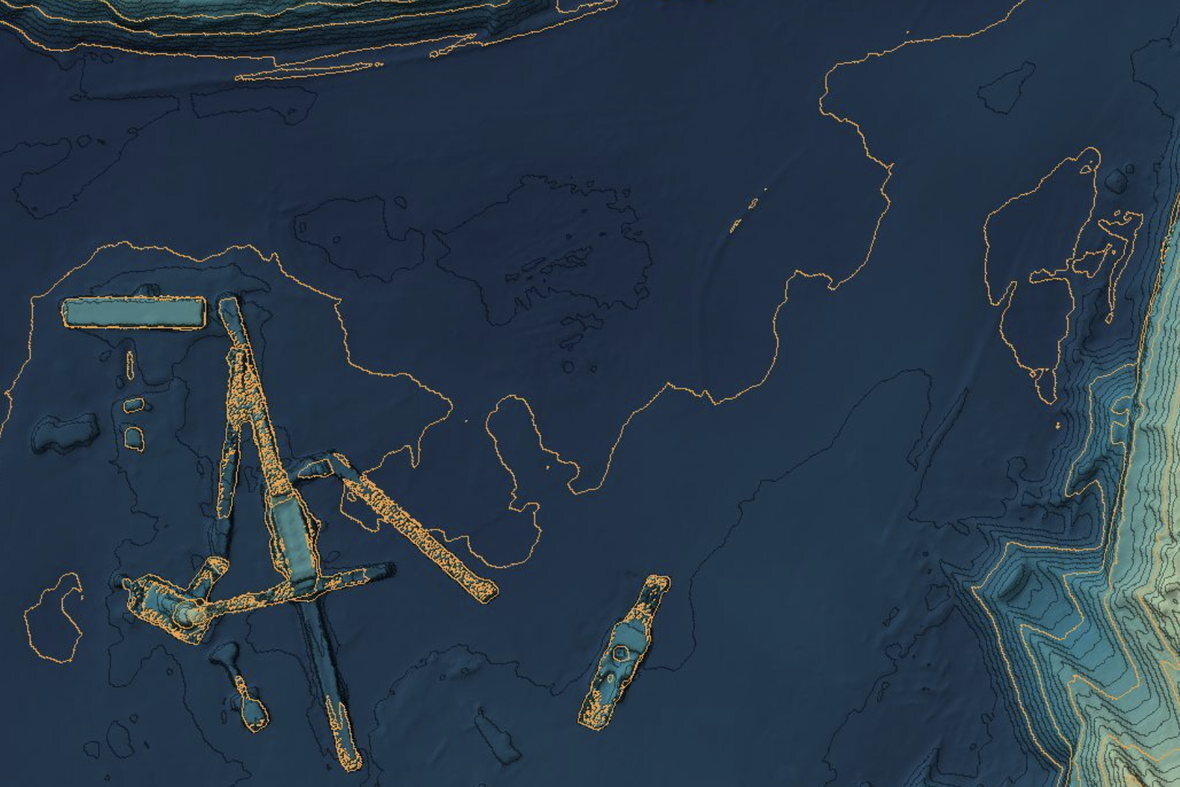
Repeatable stockpile volume measurement flown RTK — typically within ±2% — for inventory reconciliation, month-end reporting, and production tracking.
Aerial Mapping & Photogrammetry
High-resolution orthomosaic maps, 3D terrain models, elevation data, and site documentation for mining and construction projects.

Infrastructure Inspections
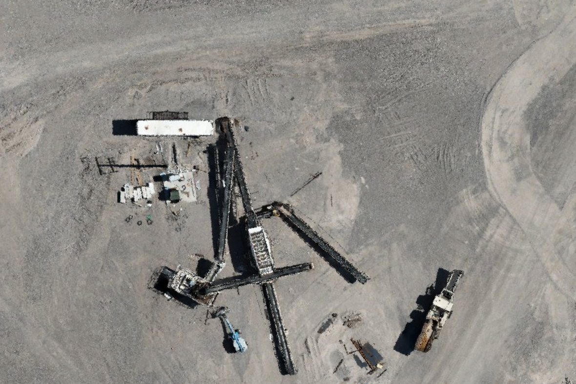
Drone-based visual inspections of conveyors, structures, tanks, roofs, slopes, and access roads — safer access, better documentation.
Construction Progress Documentation
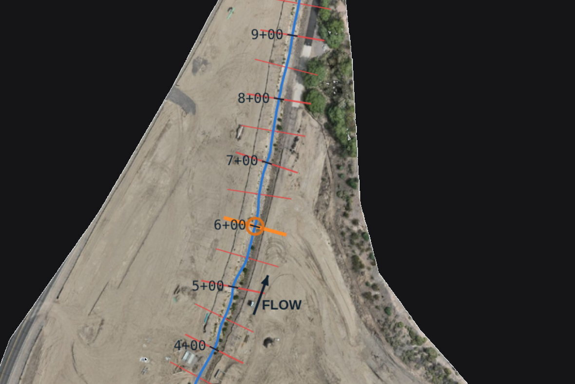
Recurring drone flights for weekly or monthly construction progress, contractor documentation, and stakeholder reporting.
Referenced, Checked, Reported.
Deliverables typically in your hands within 48 hours.
Open a real deliverable
No software, no login, works on a phone. Real flights — client, site and coordinates withheld.
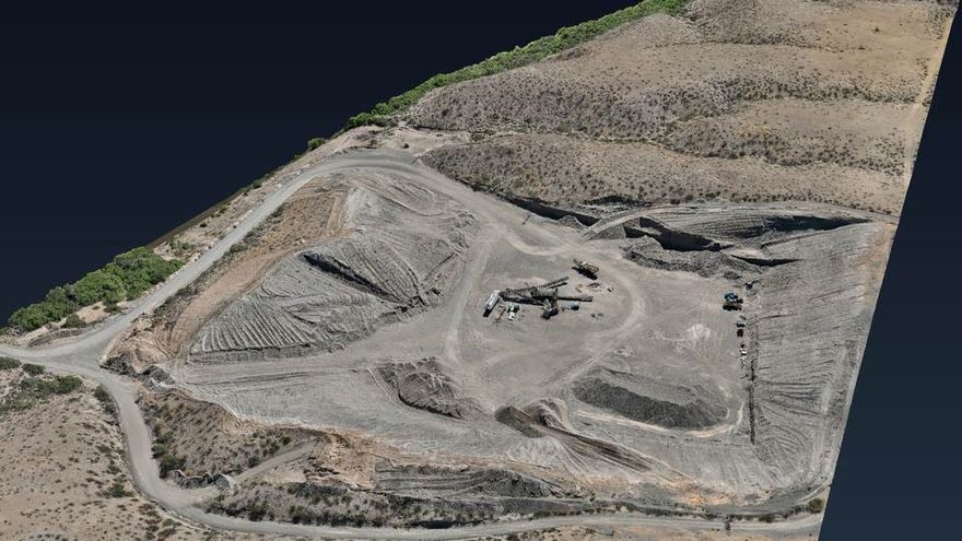
Aggregate pit and processing yard
One flight over an active aggregate operation: pit, benches, haul roads, stockpiles and the plant pad.
Open the model →
Processing plant, close range
The same flight processed tight around the crushing and screening plant — 1 ft contours, grade measurable on the ramp.
Open the model →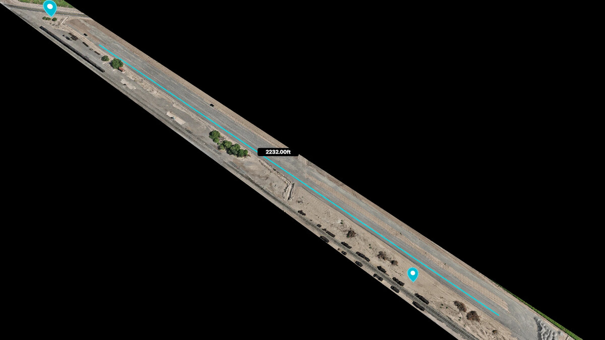
Railroad spur grading pad
A long corridor checked end to end for 2% grade — cross-sections and profile cut live at any station.
Open the model →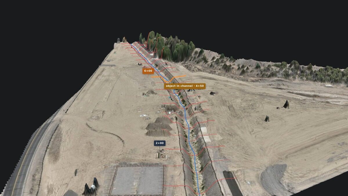
Graded site and drainage channel
Plan, profile and cross-sections kept as a model — channel grade and bank slopes measurable anywhere along it.
Open the model →Operational Background. Field-Tested Workflow.
Lurid X combines professional drone technology with years of operational experience in large-scale mining environments. We understand industrial workflows, safety expectations, operational communication, and the importance of reliable project documentation — bridging the gap between drone technology and practical field application.
Ready to discuss your project?
Aerial mapping, inspections, or recurring documentation — let's scope it.